About Magee Geophysical Services
Magee Geophysical Services was founded by Christopher Magee, who has been in the geophysical contracting business since 1978 and has a degree in Geophysical Engineering from the Colorado School of Mines. Since 2005, we have aquired over 100,000 gravity stations and over 10,000 line-kilometers of ground magnetics. During the same period, we have staked out hundreds of line-kilometers of IP, seismic, and EM profiles.
With an extensive staff of highly-trained operators we can field and support numerous crews simultaneously on multiple projects. We specialize in mineral exploration, oil and gas exploration, geothermal exploration, ground water investigations and reservoir monitoring.
For more information on our specific services, use the links below.
Contact us for more information and learn how we may be able to help you with your next project.
Experience and Qualifications
With our extensive experience and dedication to getting the job done right, you'll be assured that we will bring a professional, highly-trained field staff to your project. Some project highlights are listed below:
- Successful magnetometer surveys over producing geothermal systems in the western USA (including “blind” systems) as well as exploration-stage surveys in both North and South America.
- Substantial experience with safe data acquisition over developed properties including active and reclaimed mine sites, producing geothermal plants, active oilfields, drill-rigs, quarries, etc., in various countries.
- Completion of numerous large-area, multi-stage projects over world-class gold deposits in Nevada, USA.
- Directed the acquisition and processing of a four-phase relative gravity network in the Middle East.
- Nearly 4000 stations collected continuously over a 14-month period covering nearly 2,150,000 km2 (830,000 sq mi).
- Achieved 3 microGal (μGal) resolution during establishment of a 25 station gravity calibration line.
- Achieved better than 17 μGal resolution during establishment of primary and vertical relative networks, using modified ladder-looping procedures (>3800 stations).
- Supervised and processed daily data for five, 2- to 3-man crews, each operating two CG-5 gravity meters simultaneously.
- Assisted in establishment of absolute gravity network and determination of local vertical gravity gradients.
- Extensive international experience in over 40 countries.
- Experts with logistics in the Arctic, rain-forests, and remote, inaccessible areas.
- Dozens of Arctic projects completed during summer and winter.
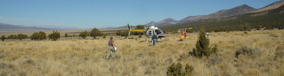
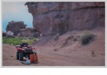
- Extensive experience with helicopter, fixed-wing, snowmachine, and ATV operations.
Benefits of working with Magee Geophysical Services
- Efficient Field Operations
- Committed to Safe Operations
- Committed to conducting operations in an environmentally responsible manner
- Cost-effective and competitive pricing
- Highly-trained and experienced staff
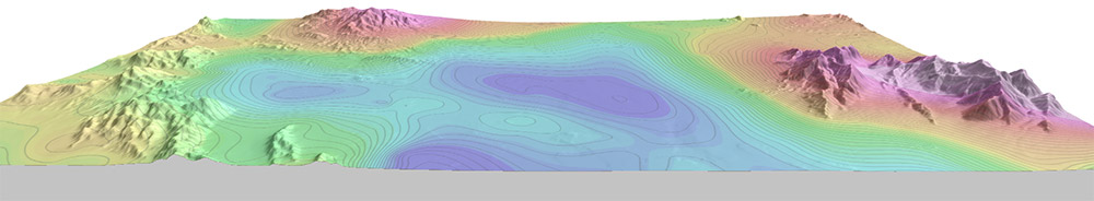
- Geophysical data processing and mapping performed with Geosoft Oasis Montaj
Contact us for more information and learn how we may be able to help you with your next project.
Helpful Links
We proudly use state of the art, industry standard hardware and software.