
Geophysical Case Studies: Fieldwork, Accuracy, and Modeling
Explore our geophysical case studies to see how Magee Geophysical Services LLC applies more than 20 years of field experience to challenging exploration and environmental targets. From epithermal gold and porphyry copper systems in Nevada to lithium-bearing brine basins and geothermal systems, our services are designed around the geology, terrain, and objectives of each project.
Survey Design for Challenging Terrain
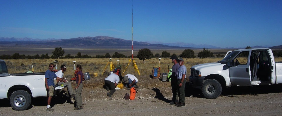
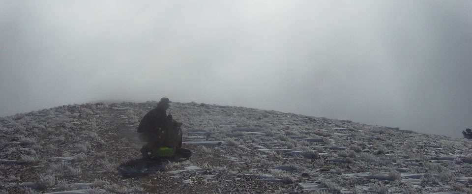
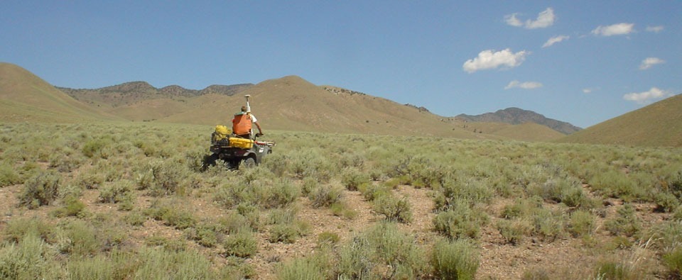
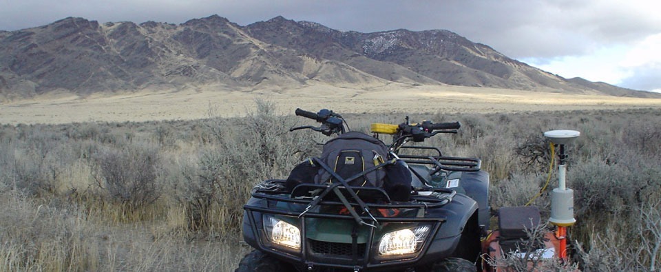
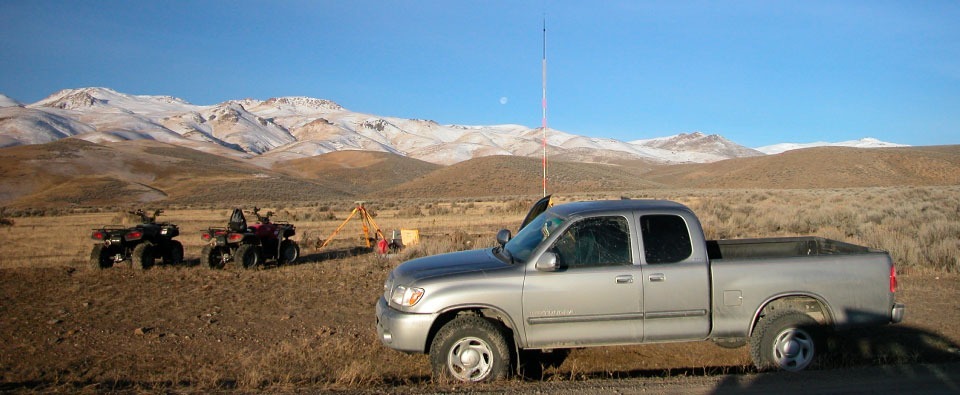
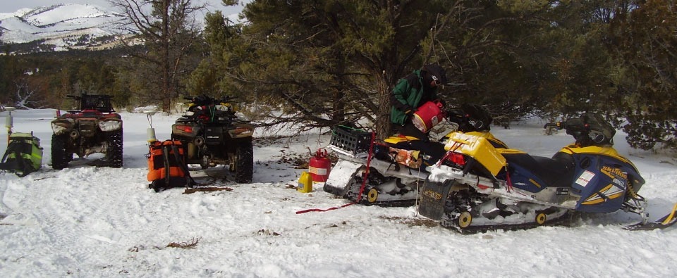
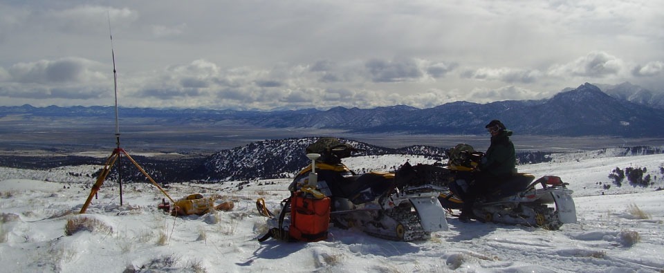
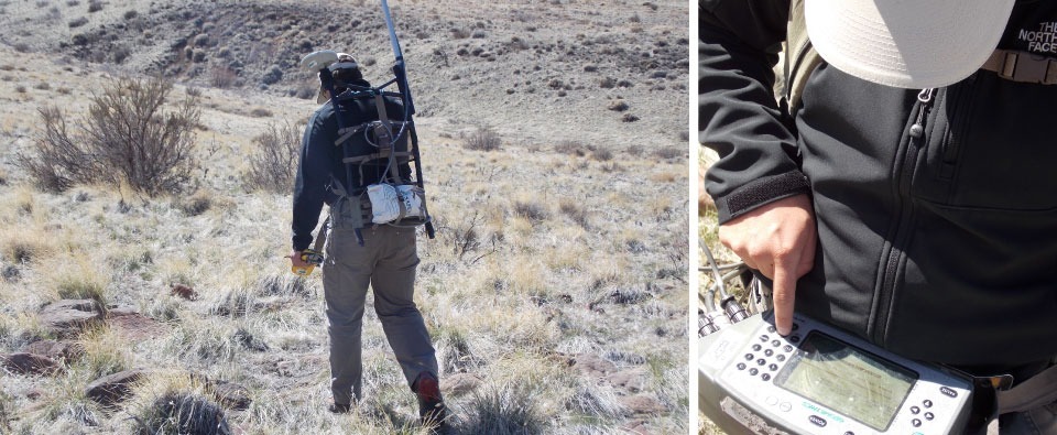
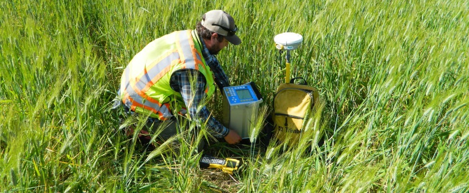
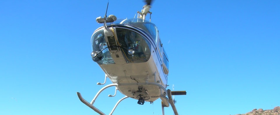
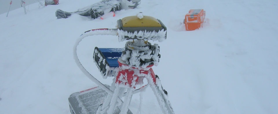
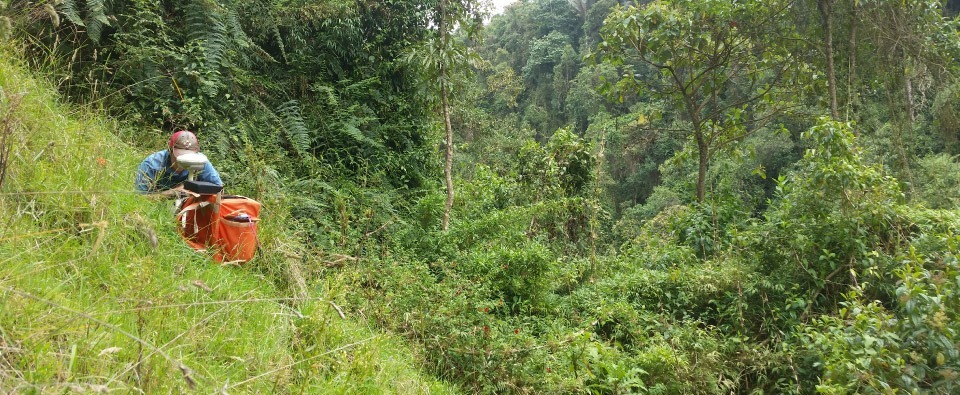
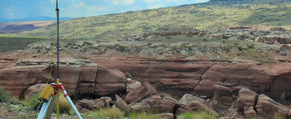
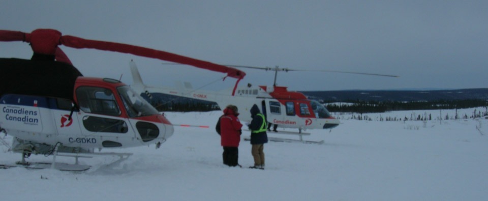
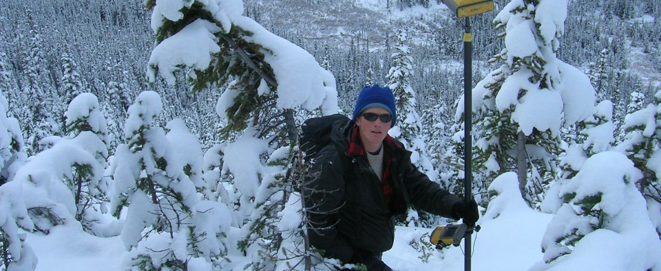
To deliver reliable results in steep, remote, or weather-exposed settings, our land gravity survey services are designed around practical field realities. Station spacing ranges from 50 to 400 meters, with line layouts, terrain corrections, and access plans chosen to balance resolution and efficiency. Rigorous safety and quality-control procedures keep crews productive while protecting data integrity.
Precision Instruments and Data Quality
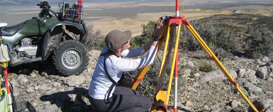
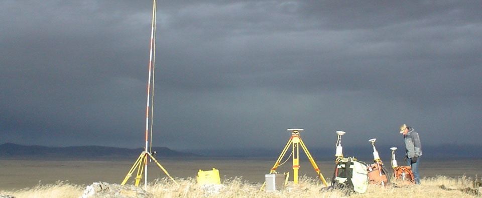
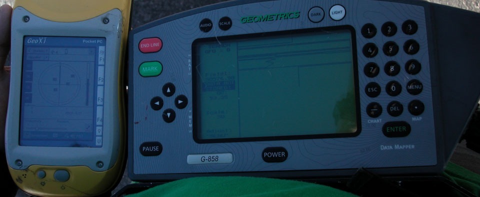
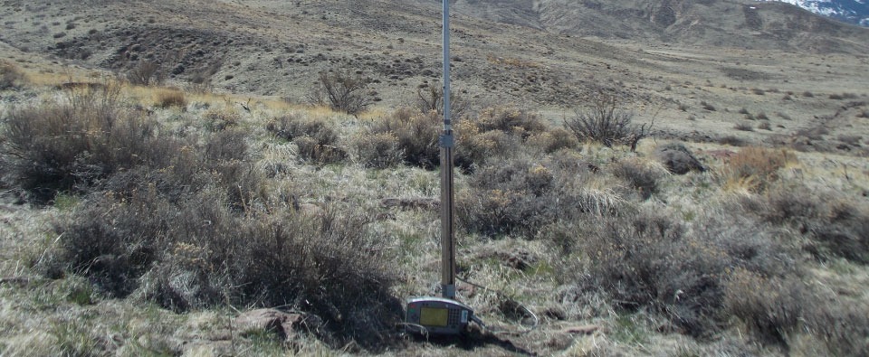
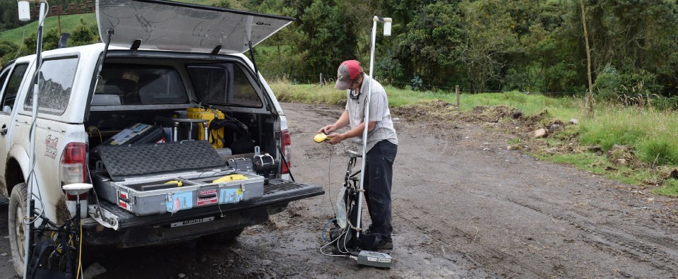
High-quality geophysical studies start with dependable instrumentation and disciplined field workflows. We deploy Scintrex CG-5/CG-6 gravimeters, differential GPS and RTK GNSS for precise elevation control, and cesium vapor magnetometers. Instrument drift is controlled through repeat stations, routine checks, and documented QA/QC so your data meet tight accuracy requirements.
Data Processing and 3D Inversion
Our geophysical inversion services support processing and interpretation workflows, including Complete Bouguer Anomaly (CBA), Total Magnetic Intensity (TMI), density-contrast modeling, and 3D inversion. Deliverables can integrate with platforms such as UBC-GIF and Oasis Montaj, allowing geoscientists to incorporate survey results into existing models.
Turning Data into Exploration Insight
These geophysical case studies show how precise fieldwork and advanced modeling define structures, map basement topography, refine drill targets, and reduce exploration risk — including 4D gravity, where temporal monitoring is required.
Contact Magee Geophysical Services LLC to review relevant geophysical case studies and plan a survey that fits your objectives.